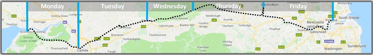
This time next week (midday Sunday 10th) I should be on a train, first to London and then to Carlisle via Newcastle. Too late to back out now!
The weather forecast doesn’t look too bad. One little hazard that I only just learnt about: the path between Bowness on Solway and Carlisle can flood at exceptionally high tides. I’ll be there just at the high tide time, but fortunately it’s not a spring tide so I should escape dry-shod. I wonder what other surprises are in store?
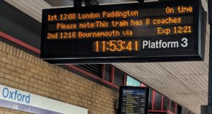
A journey of a thousand miles begins with a single step, they say. The 12.00 to Paddington may be more prosaic, but just as practical.
At least this one’s on time
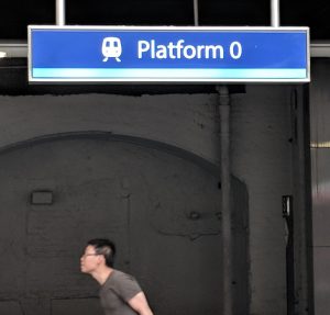
And so to Kings Cross. Platfom 0? Really? I was hoping at least for 9¾…
I nearly got on the wrong train
No decent views of Peterborough Cathedral or York Minster today. Too much leaf on the trees beside the railway line.
“Electric trains stop here except for access to Table Slip Road”. Shunting yard outside Darlington station takes today’s prize for Best Combination of Bewildering and Unsettling in a Public Notice.
Newcastle to Carlisle by train, although it’ll be a bus after Hexham because of weekend engineering works. I’m on a ghastly Pacer railcar, a product of British Rail Engineering Ltd in Derby that’s as second-rate and cruddy as their HST (one of which got me to Newcastle) was a triumph. Pacers are basically buses with railway wheels. No bogies mean that they emit tortured metal-on-metal squeals when taking even the gentlest curve. Why does only the North have them? Put a few Surrey stockbrokers in one of them and there would be hell to pay. Hurrumph.
Sic transit gloria Geordie. At Blaydon station, the only shops I can see are Costa, Subway and Domino’s.
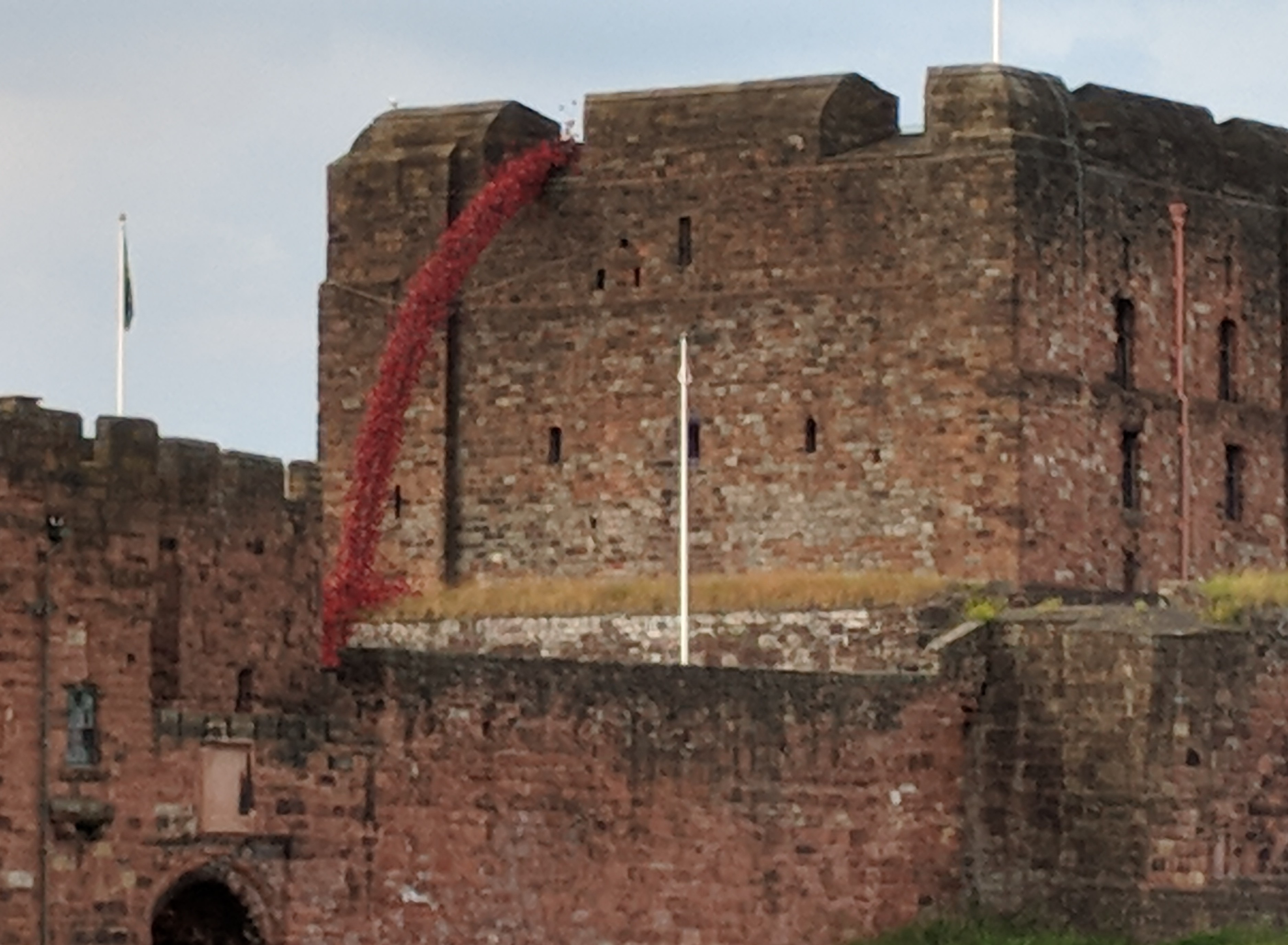
Carlisle castle with poppy installation
10pm in Carlisle. I’ve taken a quick look at the commemorative poppies installation in the castle (on tour here since last week), had some supper, and now it’s time for bed as I’m hoping to get an early bus to Bowness tomorrow. It’s still light, and things are only just beginning to get started in the clubs and bars. People seem to know one another here – there’s much friendly waving across the street.
Well, that hurt more than I expected but less than I feared.
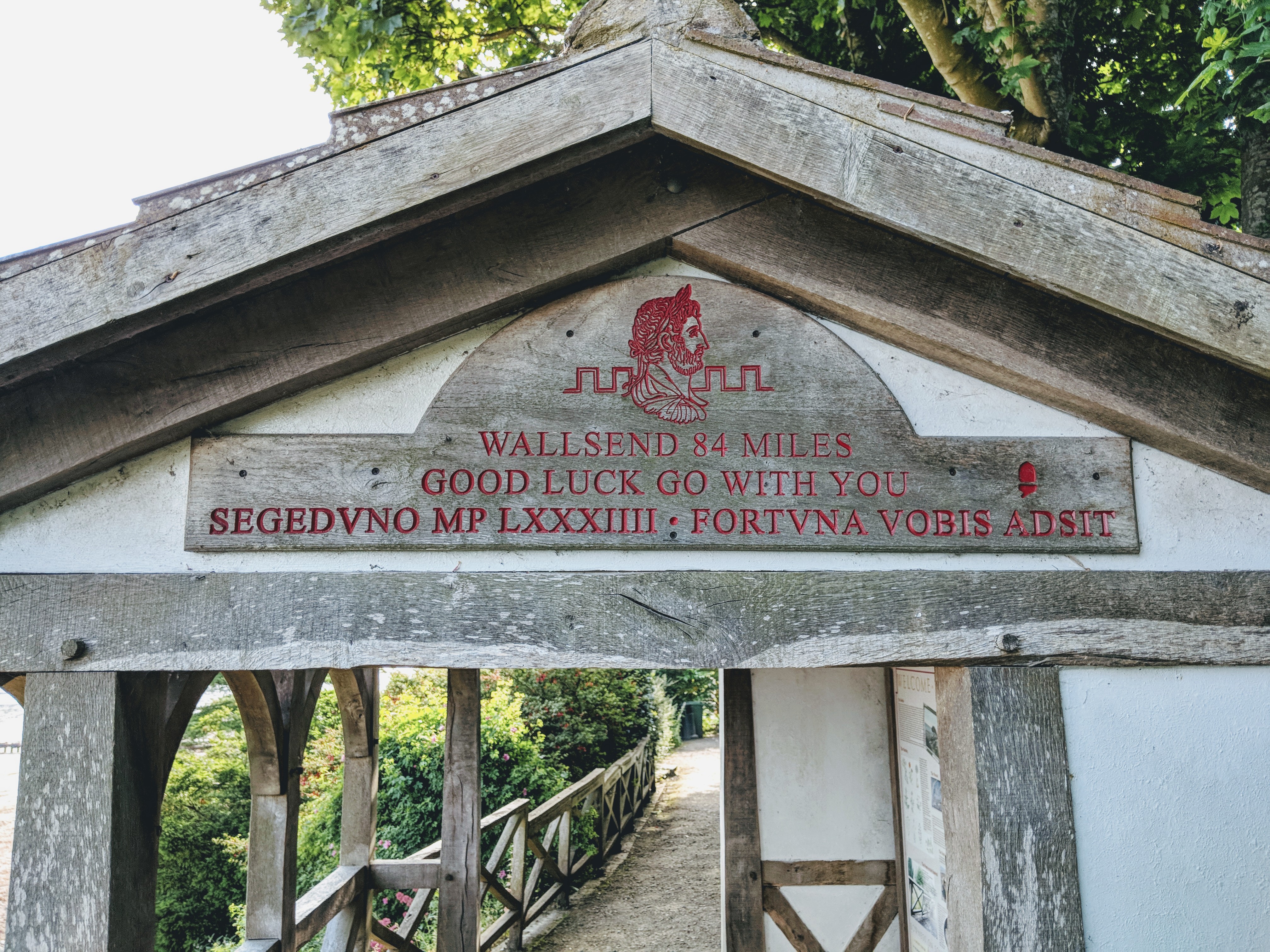
The 6:35am No.93 bus was on time, and almost empty save for an amiable pair of guys from the Südtyrol, speaking Italian with a pronounced German accent as is the habit there. They walked most of the trail east-to-west last week, but were doing this final stretch the same way as me. By 8am I was at the official trail start, stamping my passport and admiring glorious views across the Solway Firth to Scotland.
Here we go.
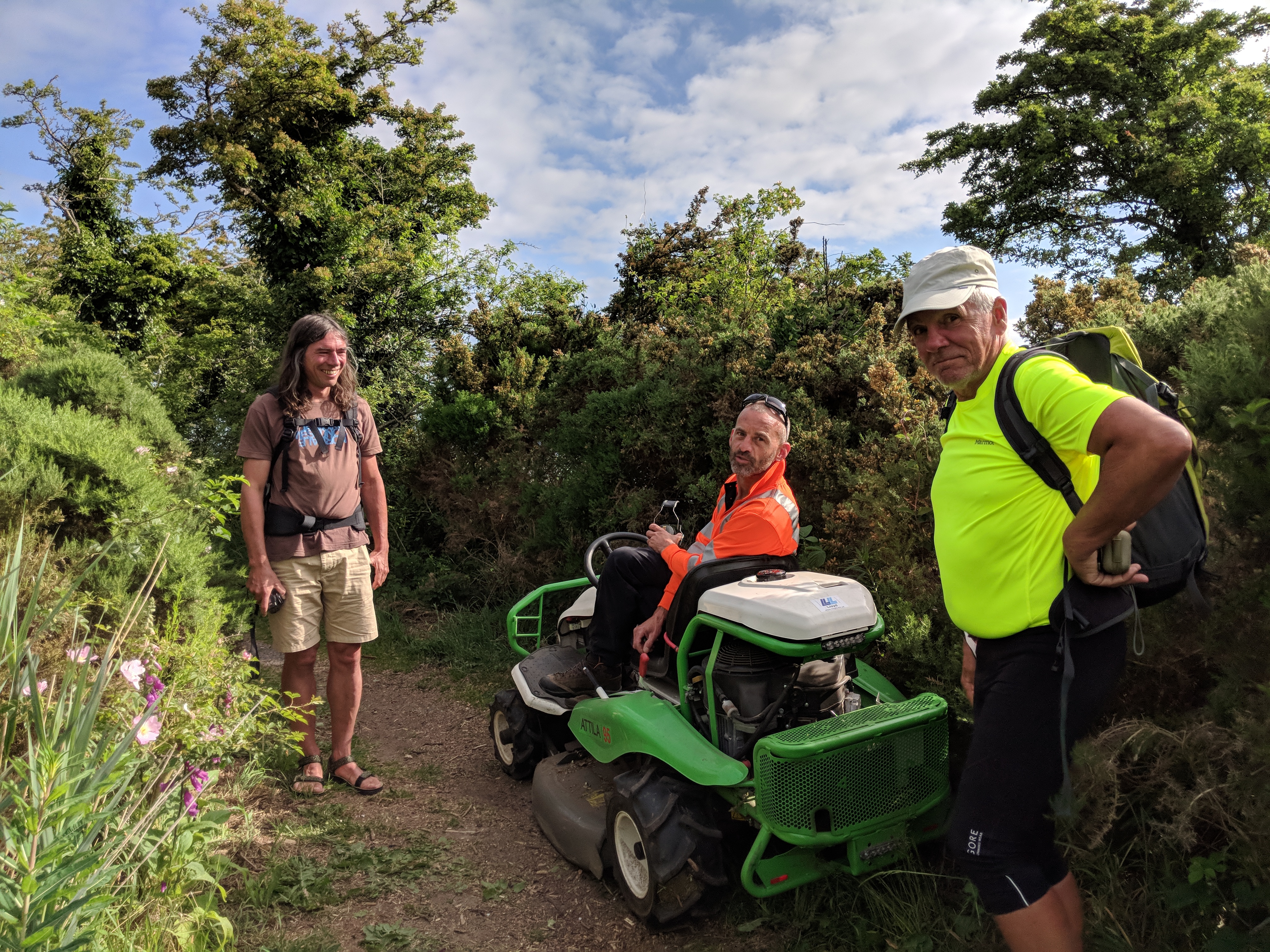
The next point of interest is Port Carlisle, which was a busy freight and passenger port until it silted up at the end of the 19th century. I spent so long chatting about it with a friendly dog walker, and then chatting with Gary the trail ranger on his mowing machine, that the Tyroleans caught me up. Here they are saying “hello again” to Gary, who met them a couple of days ago on another of his mowing missions.
Gary And The Tyroleans is NOT the name of a dodgy 80s Eurovision entry
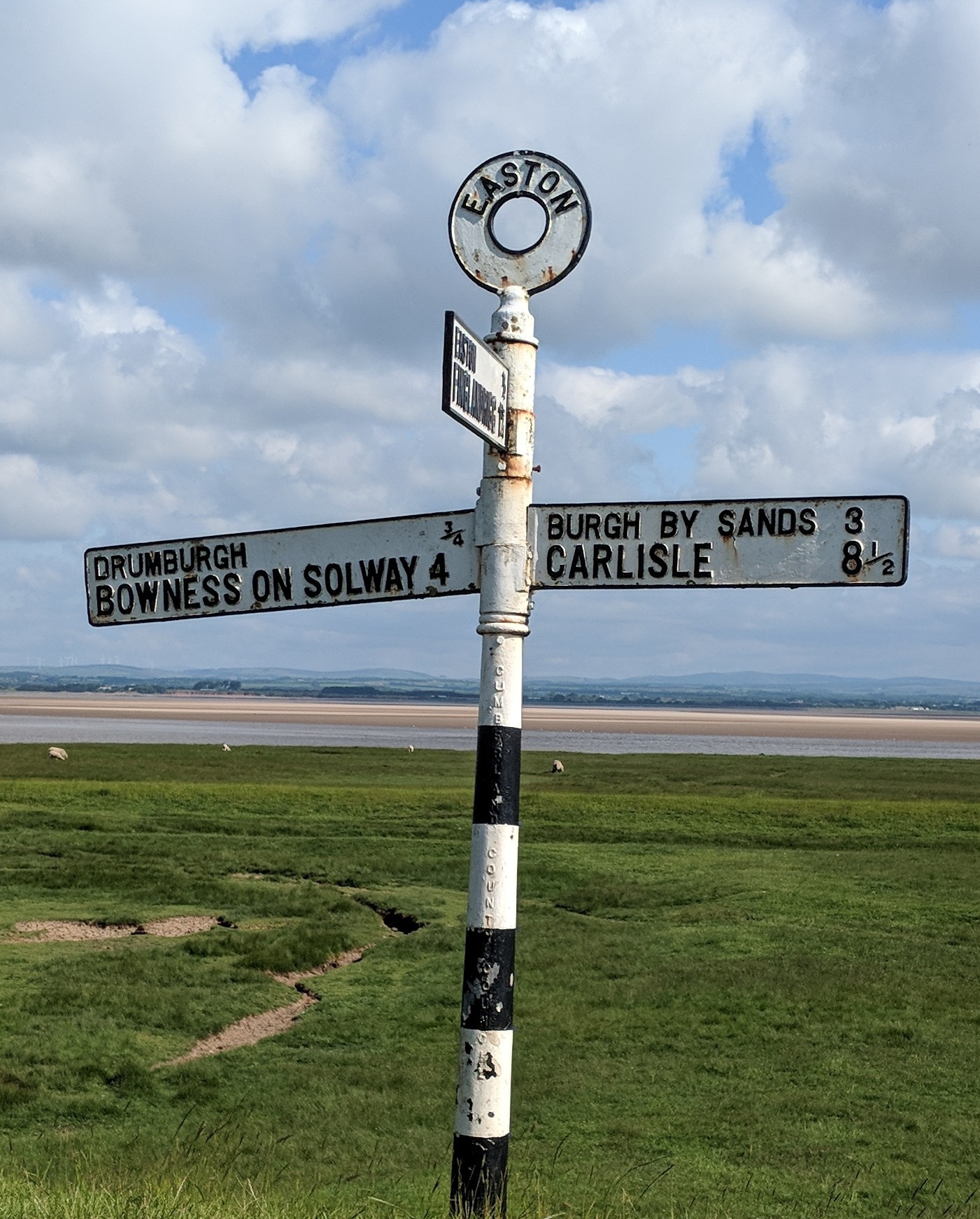
Old-school cast iron fingerposts are still widespread in Cumbria. Here’s one on the edge of the Solway Firth.
Easton fingerpost
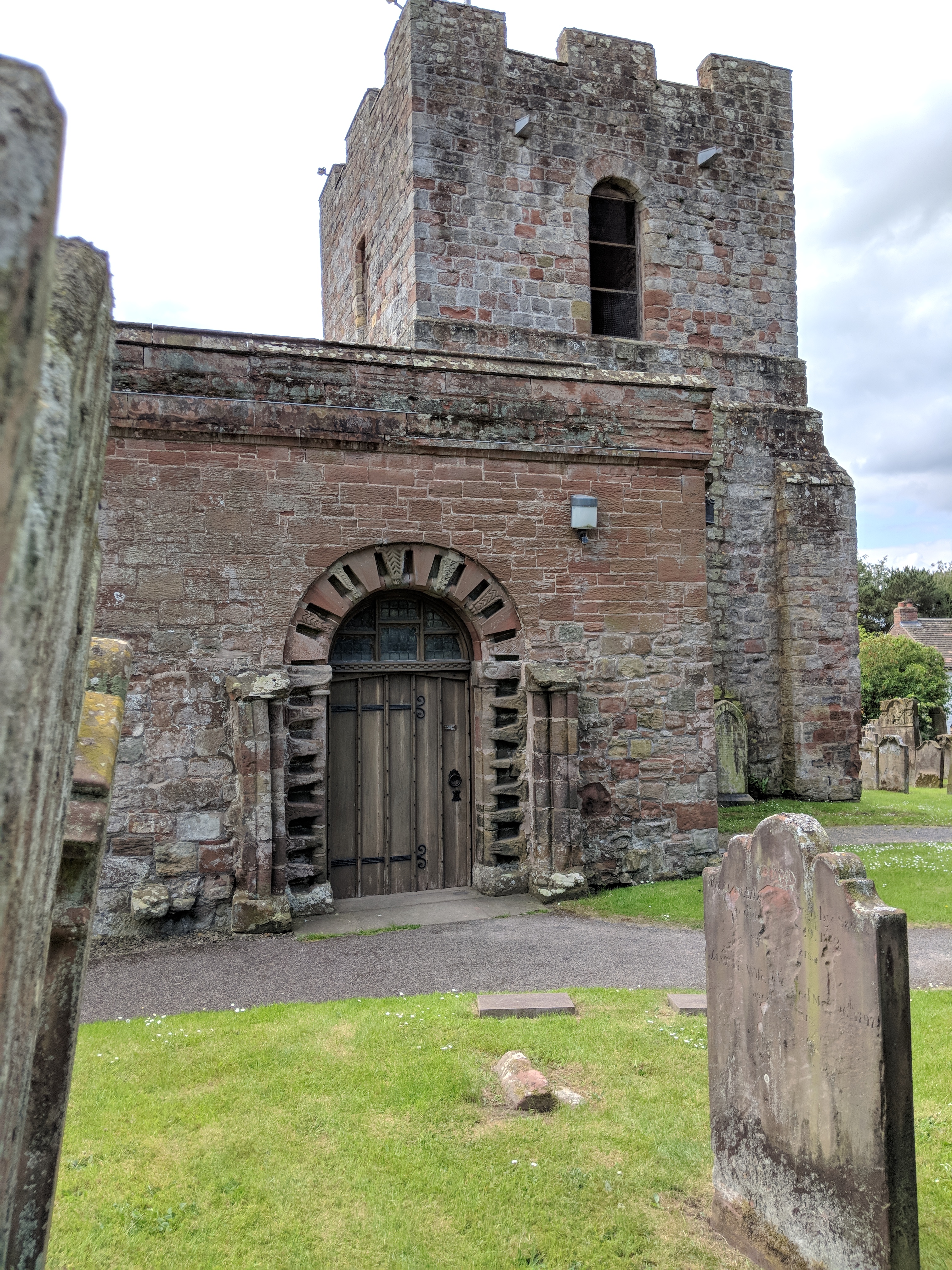
So far, then, not much in the way of Roman archaeology – all the stone got nicked to build Norman churches like this one at Burgh-by-Sands:
Burgh-by-Sands church
Later, though, there was an interesting Roman moment where a natural slope had been dramatically steepened to form the Vallum:
Earth bank
By the time I’d reached the outskirts of Carlisle at about 12:30, having failed to find a single open pub or cafe after about 11 miles, things were beginning to ache a bit and my last 4 miles were pretty slow. And no, I do not want any smarty-pants reminding me that some training might have been a good idea. Tomorrow I will be cleverer about planning breaks.
Now I’m off to Carlisle bus station on a top-secret side trip. More when I return.
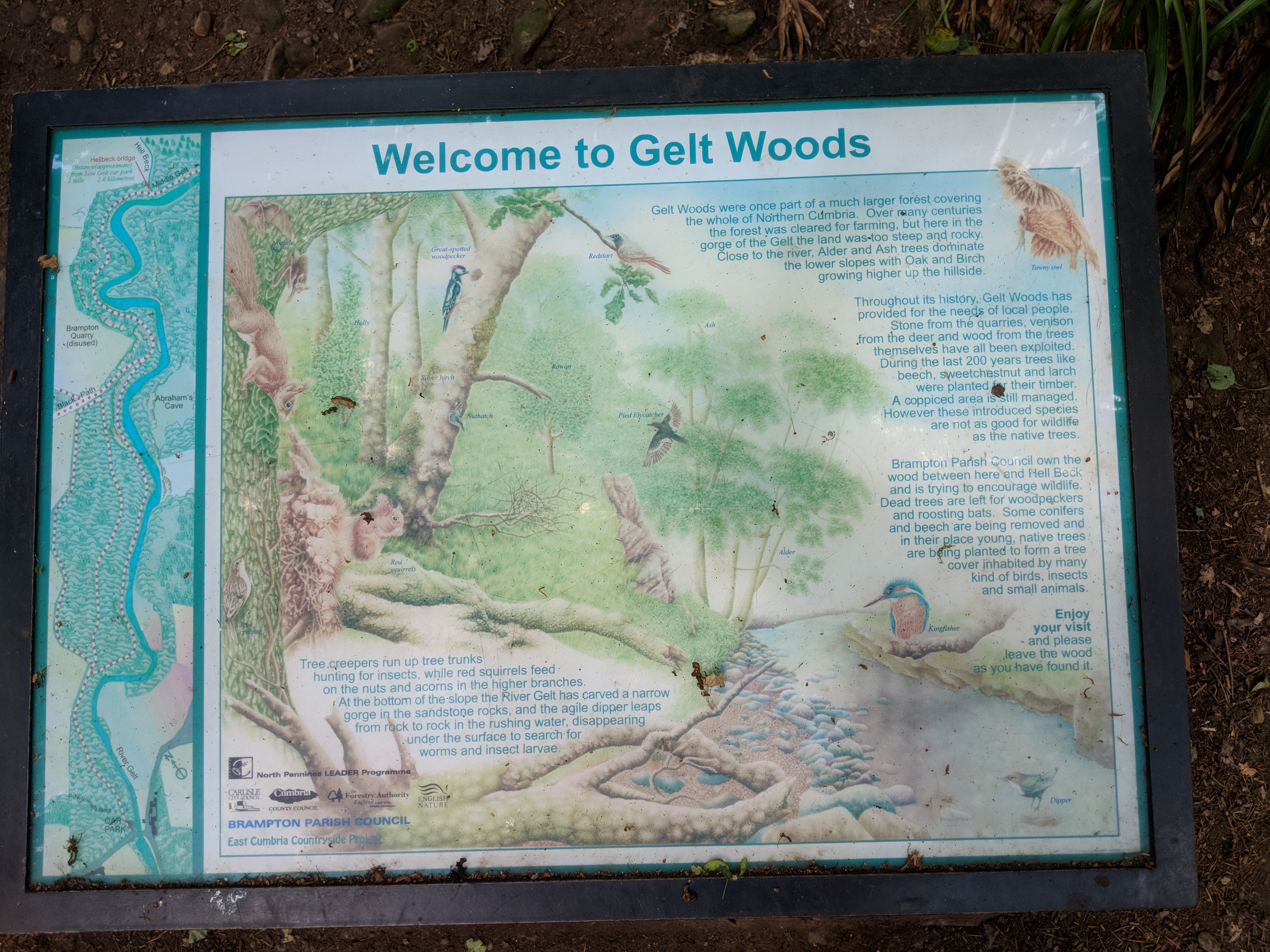
At our Branch meeting on Wednesday 6th, many kind people wished me well. One of them, however, piqued my interest in a very special way. He said I might find it interesting to visit Gelt Woods near Brampton. He had owned the woods many years ago, and told me a hair-raising story about one of his daughters being injured there. He also mentioned that the Romans had quarried wall-building stone there, and had left some interesting graffiti on one of the quarried rock surfaces. If you have the 1:25,000 OS map of Carlisle you can find it at NY531578 (and there’s another at NY526587 that I didn’t get to).
A trip to Brampton
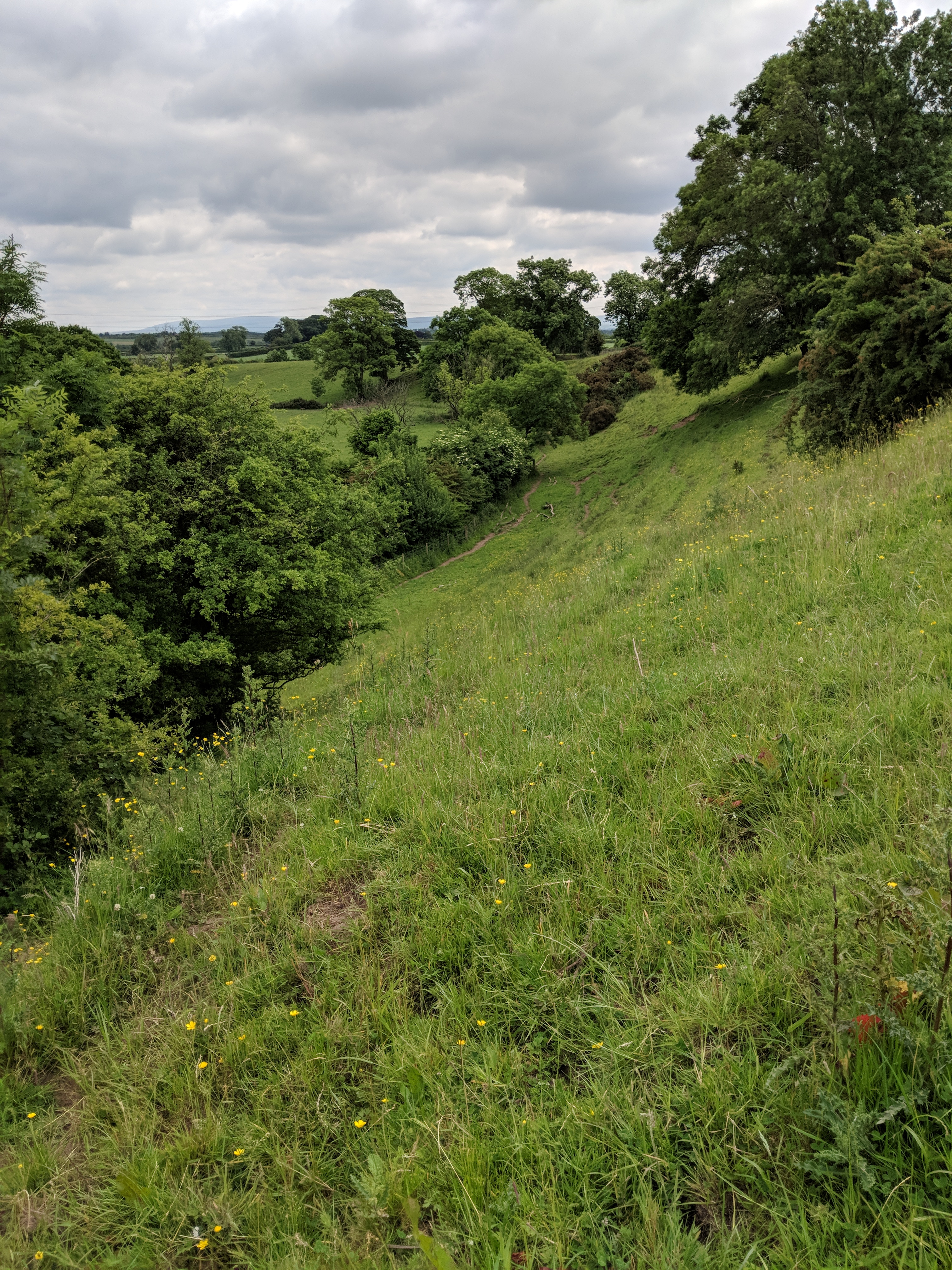
So it was that obscure rural bus timetables were investigated, and – today being only a 15-mile day on the trail – I went out there in the afternoon, the kindly bus driver unofficially letting me out just by the nearest access.
The west entrance to Gelt Woods
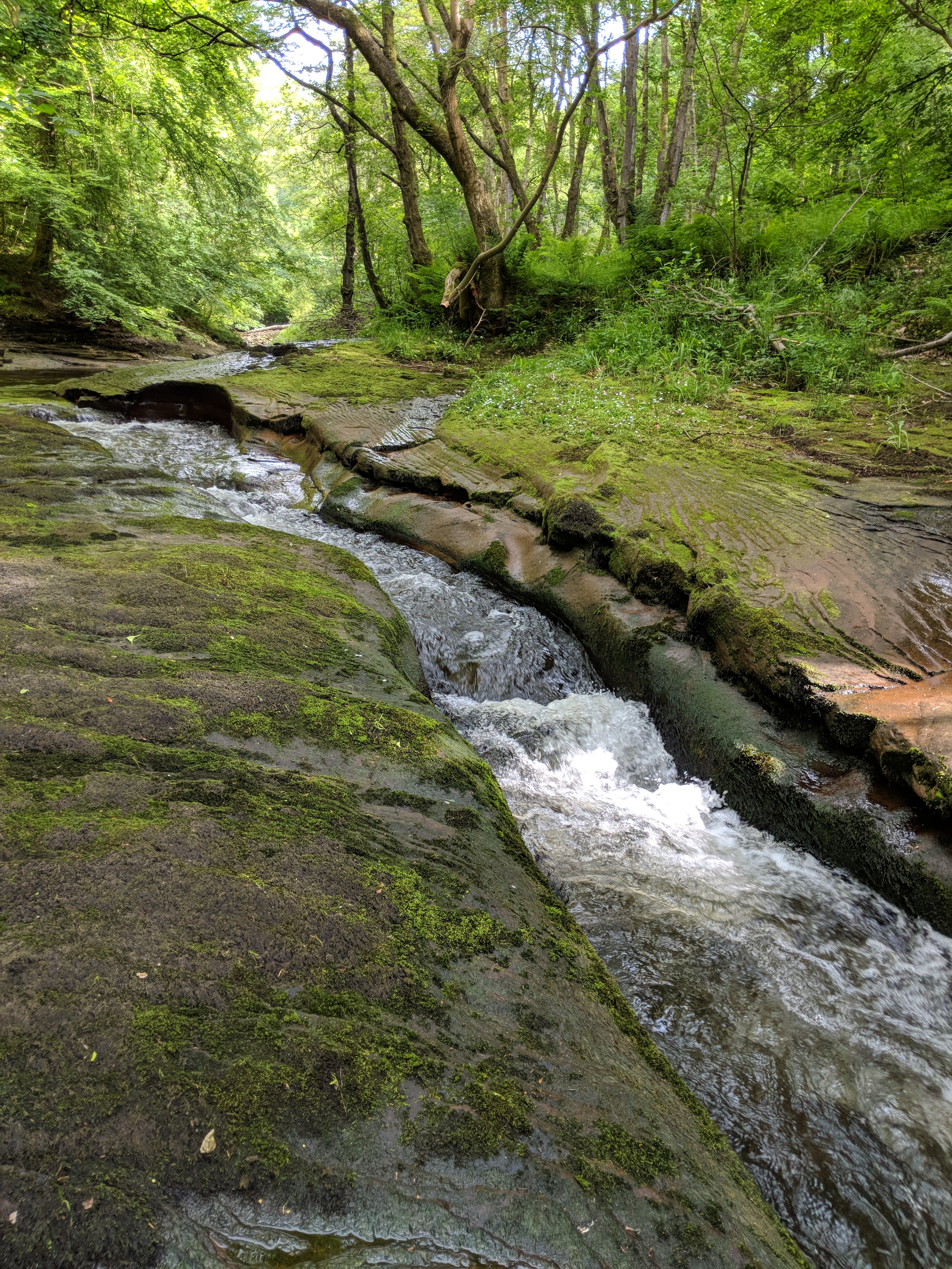
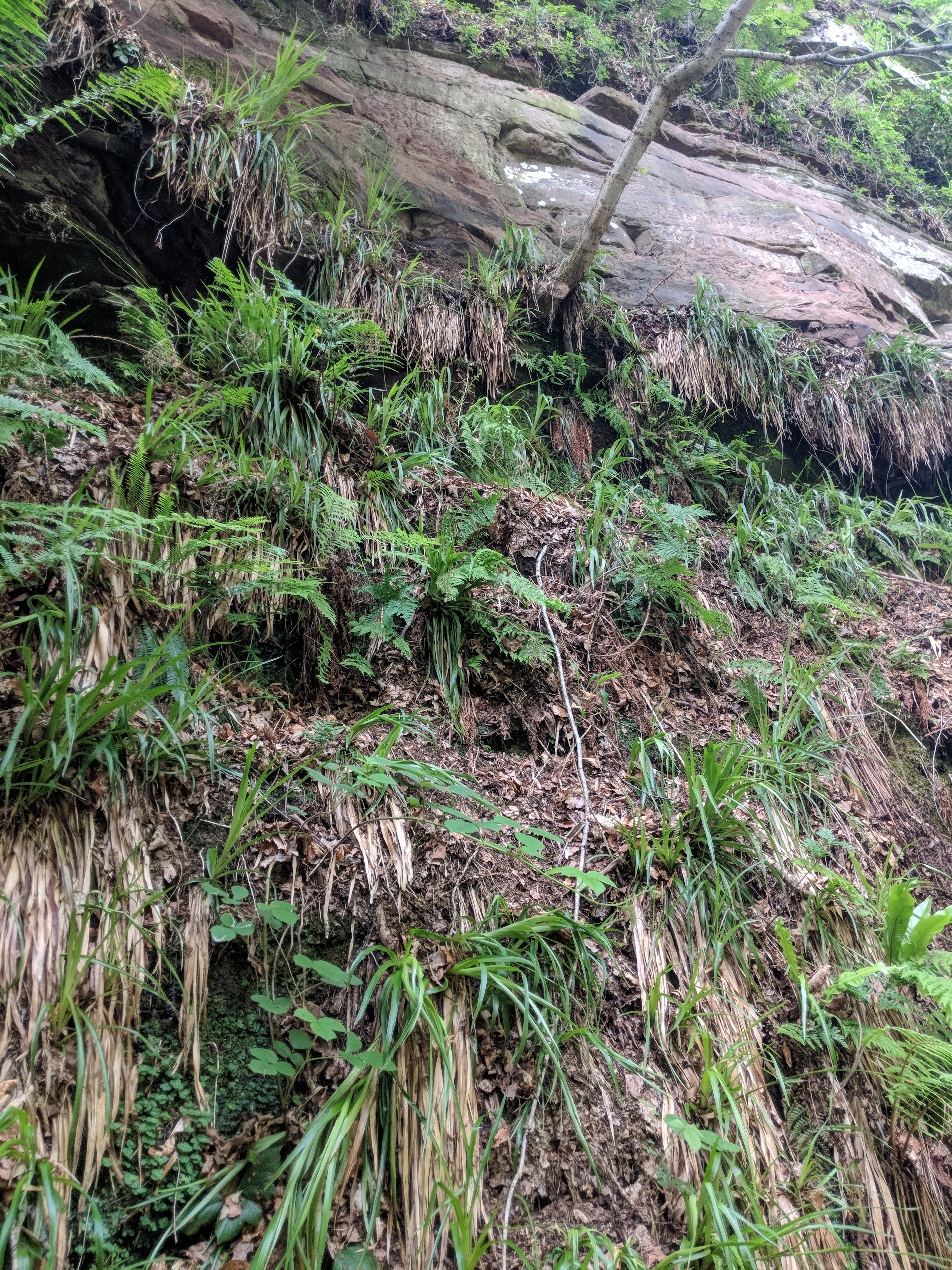
It’s lovely. Really beautiful. The little River Gelt cuts a sharp-edged trough in the pink gritstone, leaving tall straight exposures that must have made Roman quarrymen very happy.
Gelt River
Graffiti hunt
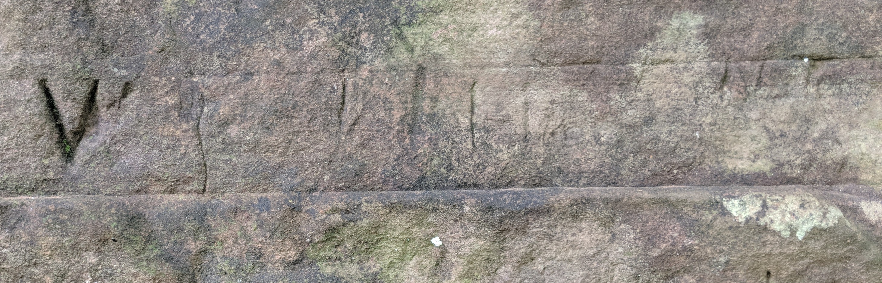
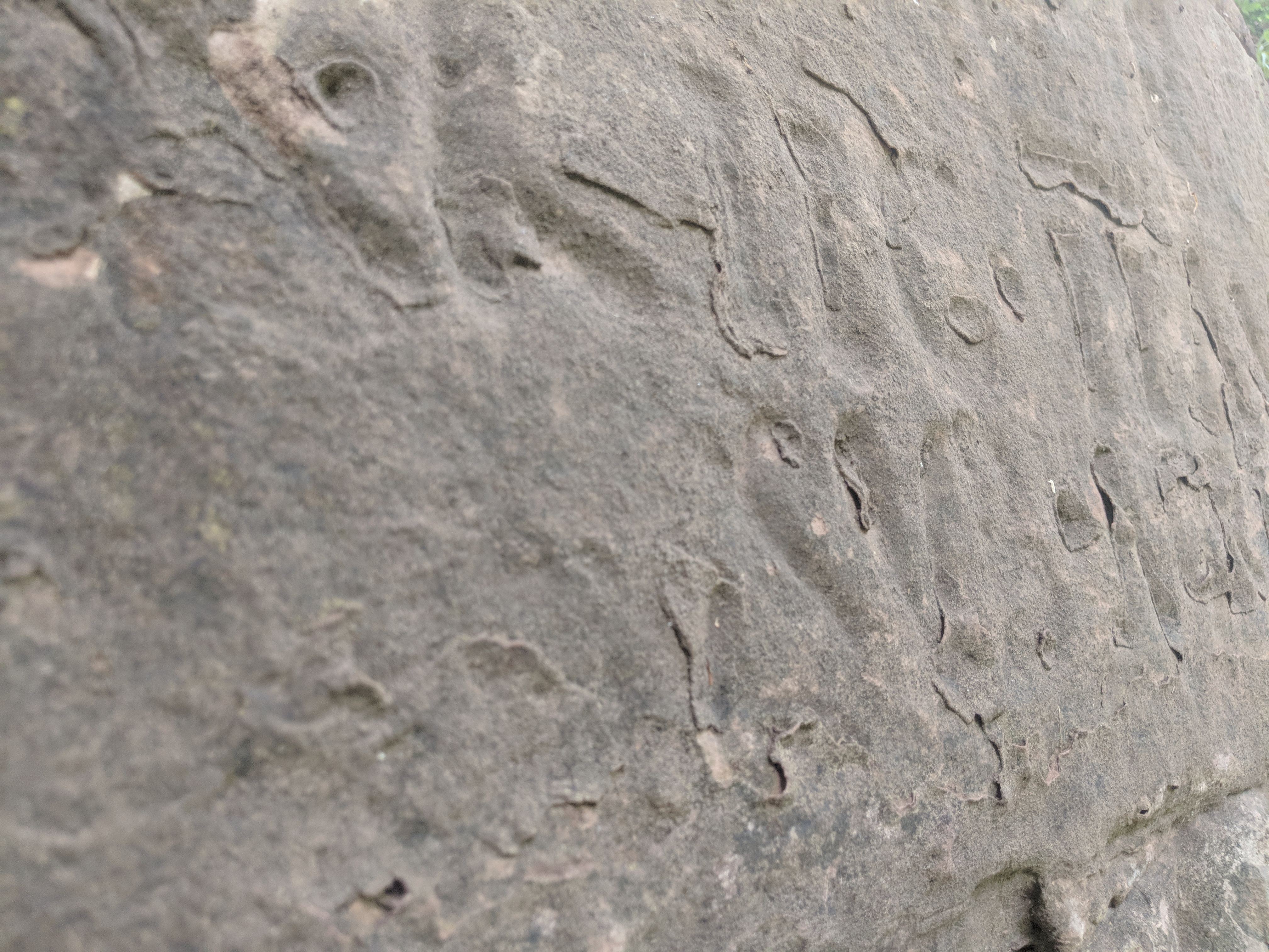
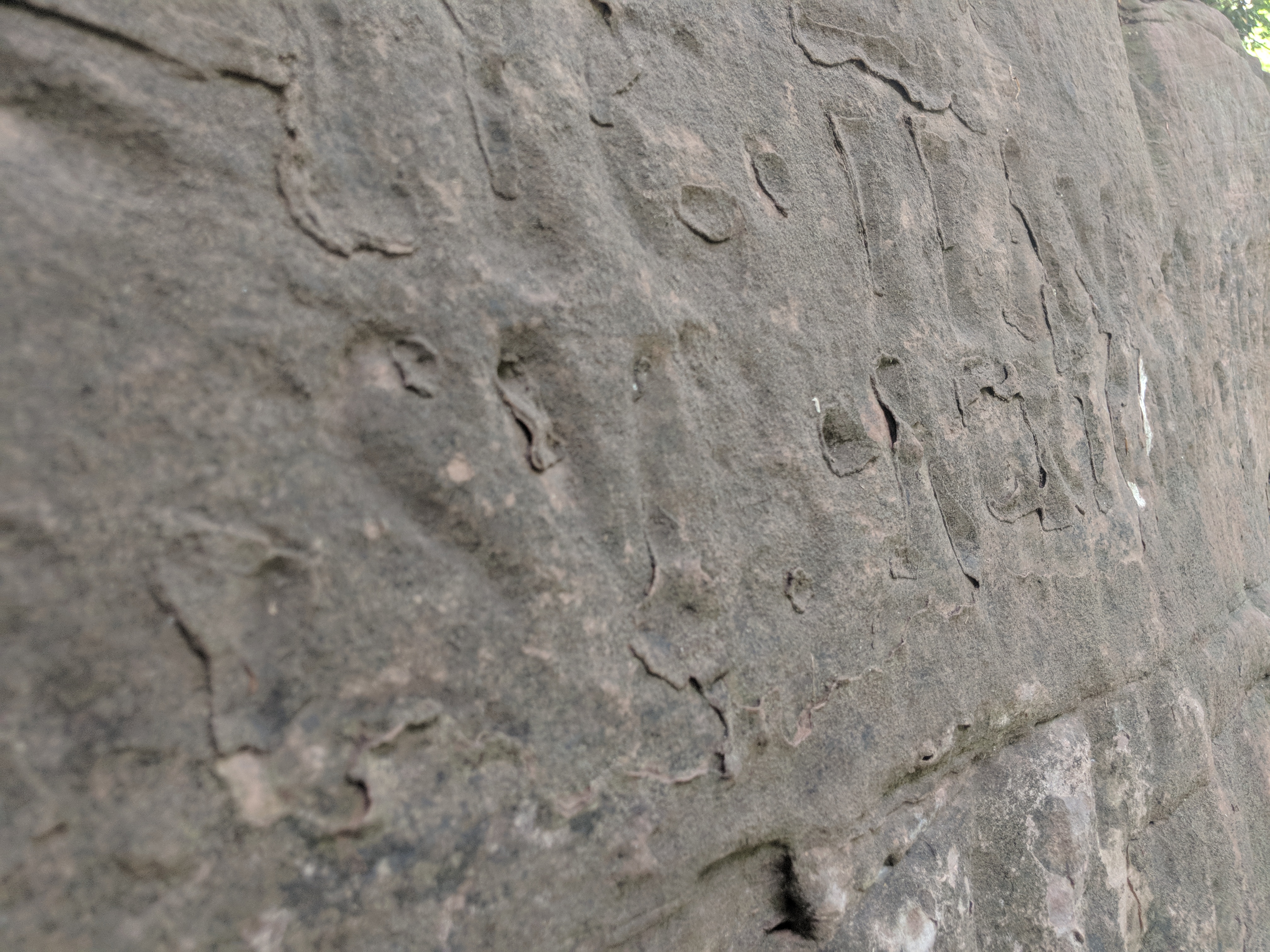
Sure enough, spot on the grid reference NY531578, I saw a little flight of stone steps leading up to one of the quarry faces. At first there is some rather dull, probably late 19th century lettering in the “Gazza n Lil woz ere” vein, but a little further on – guarded by a dodgy path and some seriously misanthropic midges – there’s a rather more interesting graffito that just might be Roman, though I doubt it.
Probably not Roman
No, we must look even further along. But the path (hah, path? I think not) is by this stage very precarious indeed, so that fingers and gritted teeth are needed for security. And then there it is, just high enough so that I have to jam my toes into the rock a few inches above the path to be able to take even a poor photo:
The real deal
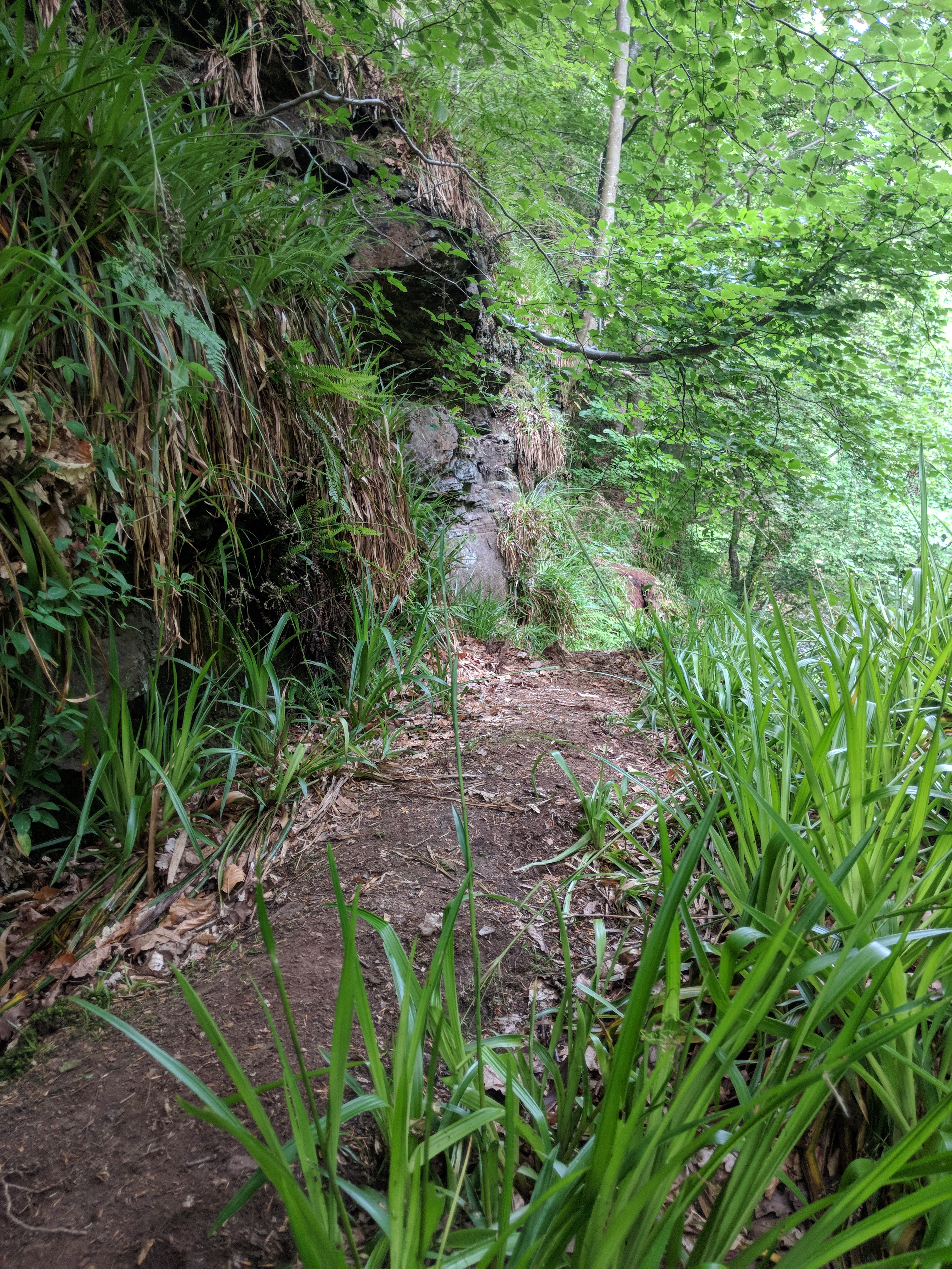
It’s in fairly poor shape and in any case I had no chance of deciphering it, what with adrenalin-fuelled pupil dilation putting everything out of focus and the feverish trembling of desperately grasping digits making my whole body wobble. I’m sure, though, that I found it. Here it is in context, seen from the riverbank.
Looking along the bankTotally accessible! Looking up from river level
There’s no doubt Gelt Wood is a very special place. I’m thrilled I got the chance to visit.
Disclaimer
Of course, we do need to clarify – for Sally, mainly – that the six-inch wide strip of leaf litter, held together by a few plants, that I was standing on was totally 100% safe and without risk. And even if it had collapsed, the 20 foot sheer drop to gritstone riverbank would have been entirely trouble-free.
It’s my last evening before moving on from Carlisle, a town that has been kind to me (and for which I’ve always had a soft spot). After a day’s walking your tummy says “gimme carbs” in a tone of voice that will brook no argument, so I popped around the corner to a modest Italian place and had a big bowl of simple spaghetti aglio-olio. Spot on.
And then I caught myself twirling it insouciantly round my fork, and remembered that we don’t eat spaghetti or other long pasta at home because Sally can’t twirl it any more. Sod you, Parkinson’s.
That’s why I’m doing this. About 200,000 steps, but maybe it can help with one tiny step towards defeating Parkinson’s the Spaghetti Denier.
I knew this was going to be a hard day. First day over 20 miles, first day with a full pack, first day with real hills. Indeed it was hard. I tried to keep up a gentle steady pace of just over 3mph, on the flat at least, but the last 5 miles took me well over 2 hours. The worst part was that rest stops didn’t seem to help much, because it took a good ten minutes to get started again. I suppose there might have been just a teeny weeny bit of arrogance in thinking that I could still do stuff that didn’t hurt thirty years ago.
But apart from that…
…it was a really fine walk. The first few miles out of Carlisle are fairly mundane, though pleasant enough, passing through well-kept villages and offering distant views of the Lake District and the Pennines near Shap. Evidence of Romans was in fairly short supply, though: just a few villages with “wall” in their name (Walby, Oldwall, Walton) and a grassy bank that goes in a suspiciously straight line. Above Walton, though, things change rapidly. There’s a remarkably tall (3.5m) section of wall preserved at Hare Hill.
Hare Hill section of wall
Apparently it had already been incorporated into a farm cottage, and so was spared when so much other Wall stone was creatively repurposed to build Lanercost Priory nearby.
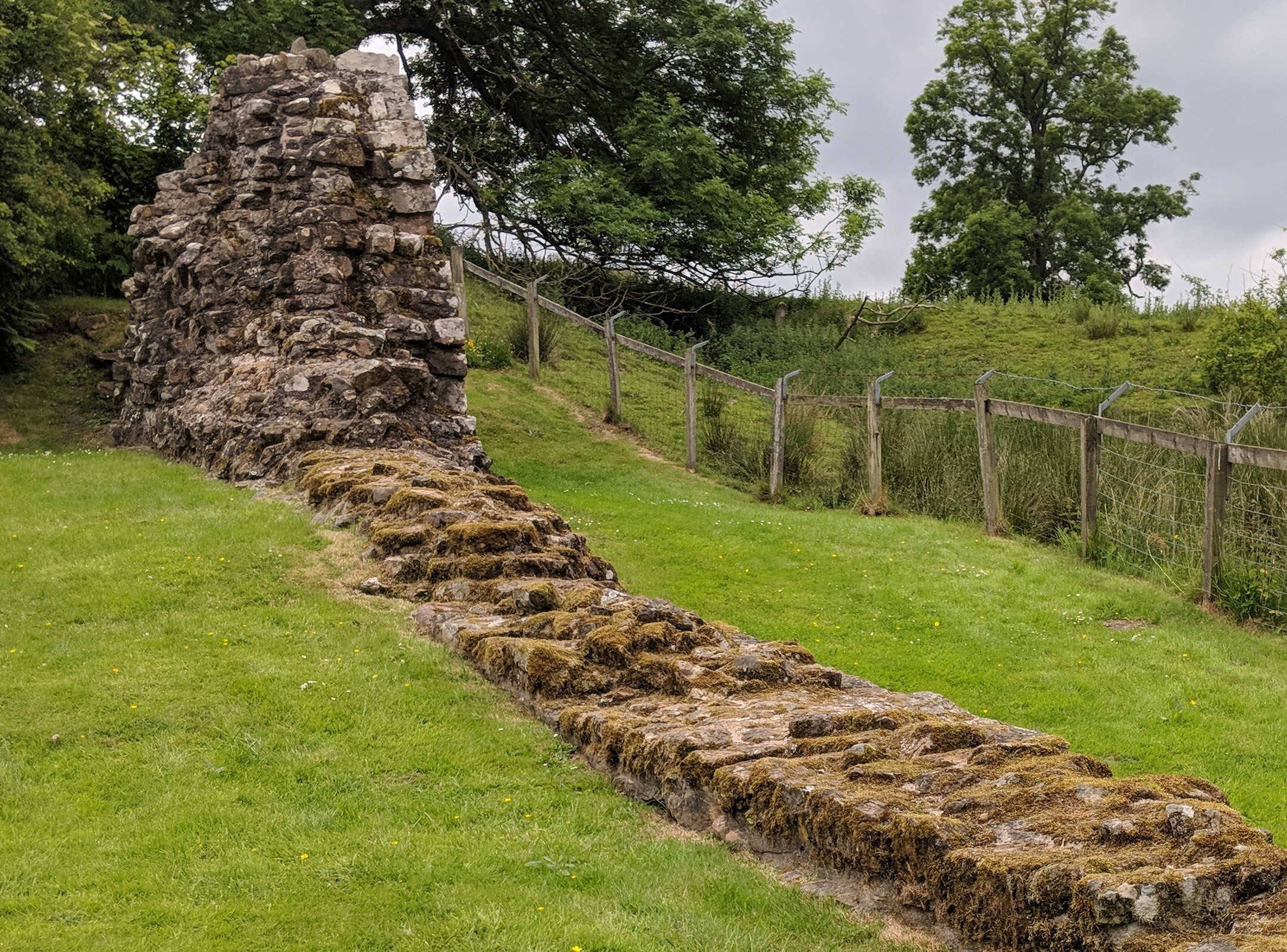
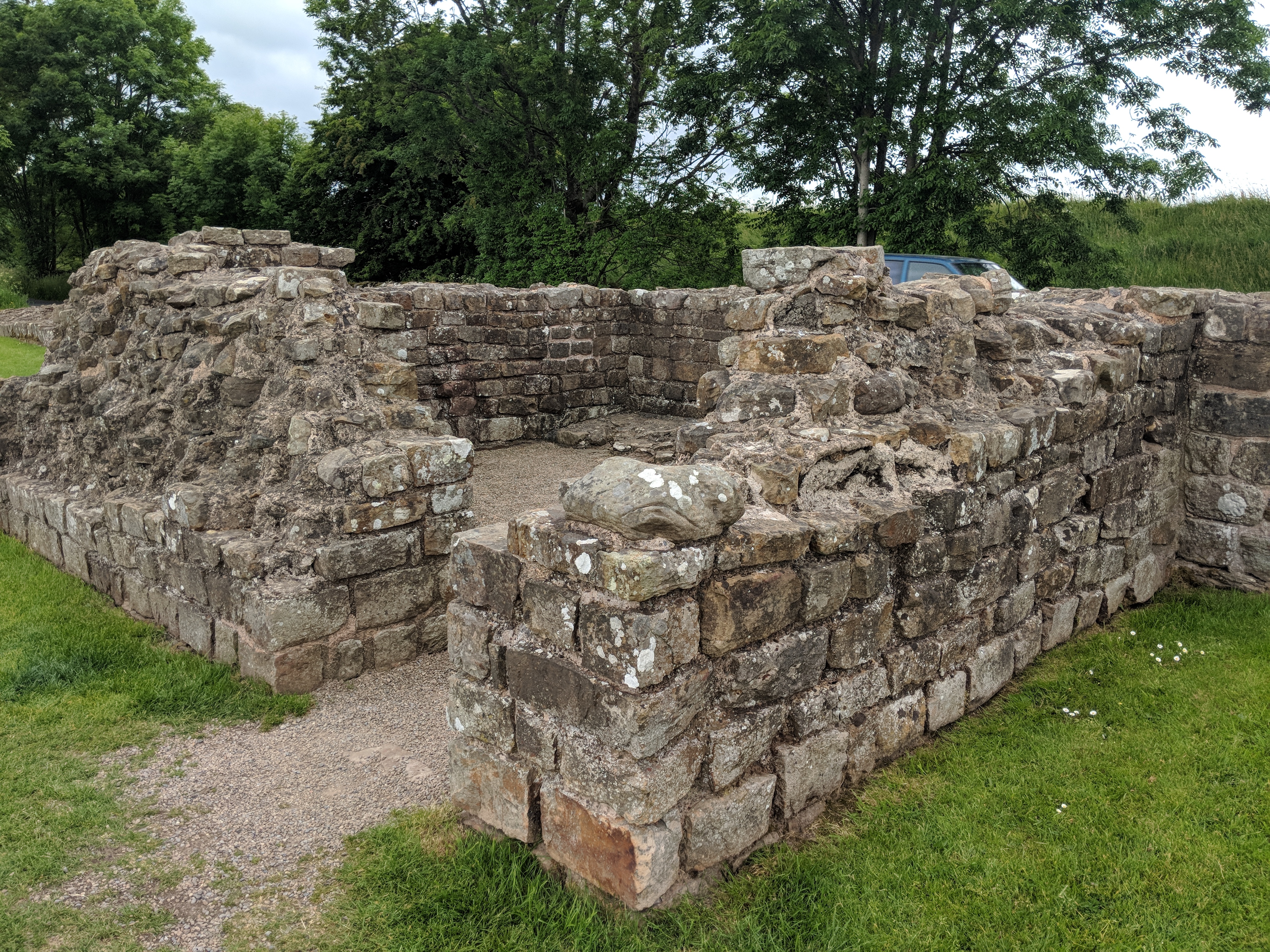
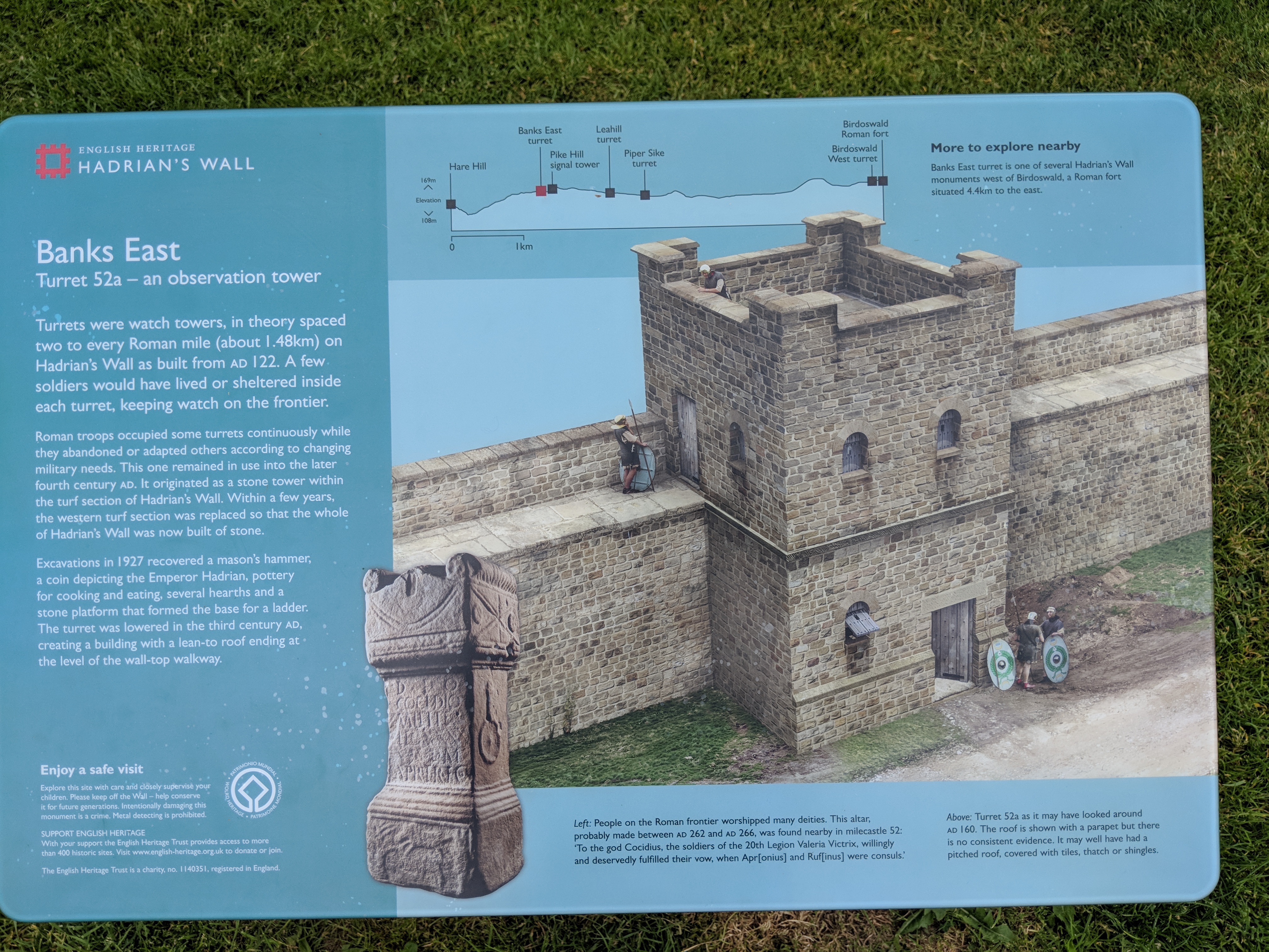
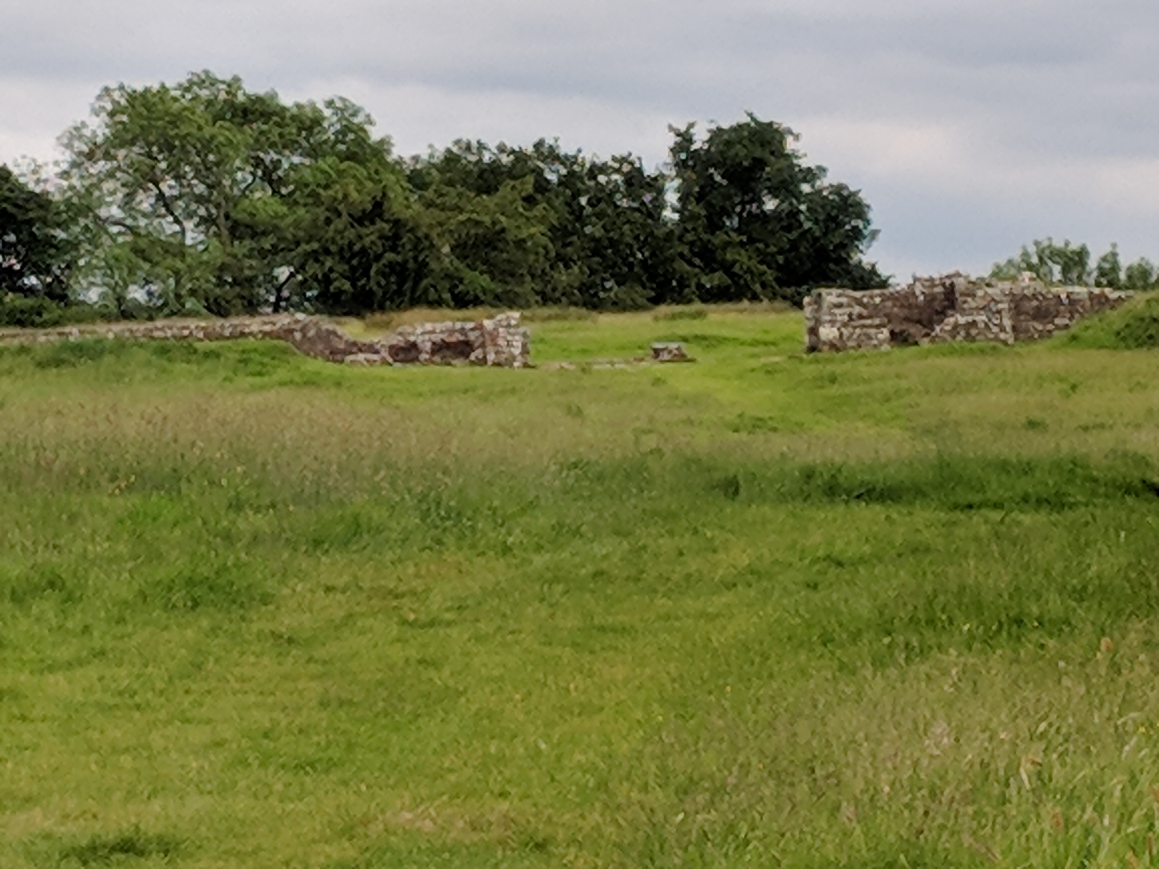
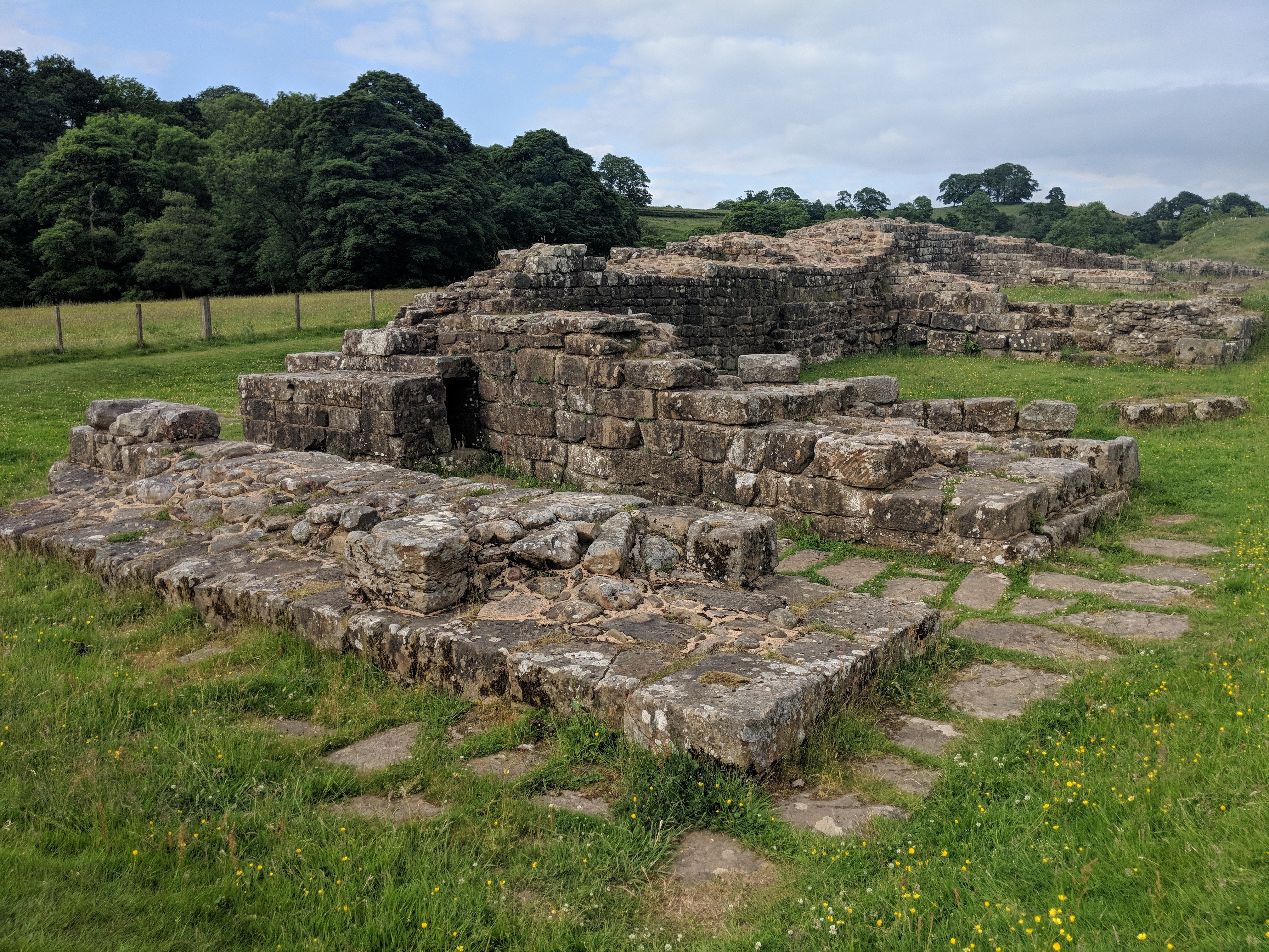
East of Hare Hill the wall follows the crest of a steep river valley. A long continuous stretch of the Wall is preserved here, and many of its structures are still visible. Some, such as Banks East lookout station, are quite large and impressive.
Banks East watch towerBanks East interpretation panel
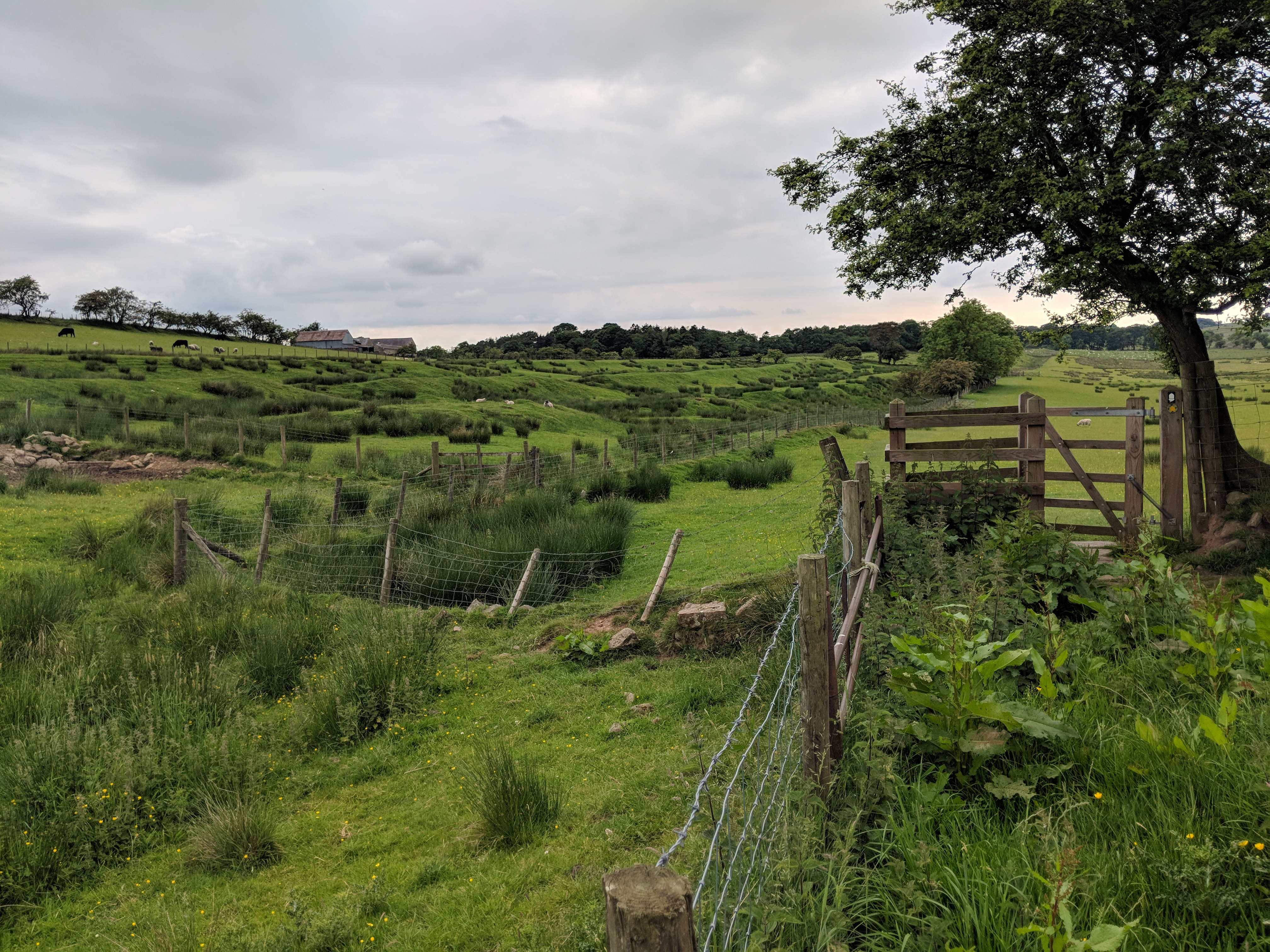
Just before Birdoswald there are impressive traces of the earth banks that ran parallel to the Wall itself.
The fort at Birdoswald has imposing ruins:
Partially reconstructed entrance gate, Birdoswald
but I was too late to be allowed in, and had to make do with a very welcome cup of tea.
Just east of Birdoswald the path heads rapidly down to cross the River Irthing, and after that the ruins are truly spectacular – here are the abutments where the Wall spanned the river:
Willowbrook
From there it was only 20 minutes before I reached the excellent Samson Inn. The first pint was an agreeable light (3% ABV) local pale beer, but it was so welcome that I probably wouldn’t have complained if it were Watney’s Red Barrel.
Time for bed now. A short day tomorrow – only about 12 miles – but a craggy one.
After scrounging hundreds of pounds from friends and well-wishers, it has emerged that walker Jonathan Bromley, 64, may have begun using performance enhancing drugs. Chambermaid Tasha at the remote Samson Inn said “You couldn’t mistake it, pet. I’d know the smell of that stuff anywhere. His room reeked of it. The old boy was limping when he came in last night, but this morning he had a real spring in his step. It wasn’t natural.”
The drug in question is diclofenac, a painkiller so potent that it only came off prescription a few years ago. When we challenged 5’7″ Bromley with the evidence today he was defiant, retorting “What’s wrong with a smear of Voltarol gel on the ankles and knees? You can get it over the counter in Londis. I’ve done nothing wrong. I was advised to use it for my sore feet.”
Our campaign against drug-pumped charity spongers continues. Meanwhile our sources tell us that Bromley may also have been using unethical anti-blister pads to allow his cash-grabbing activities to go on longer, and has used a Senior Railcard to grab cut-price travel at the expense of hard-working taxpayers.
Pictures had to wait until I got a better connection, but they’re here now. A great mystery of this walk has been the excellent mobile connection I get for most of the day when out in the wilds, followed by disastrously bad signal when I’m comfortably in my B&B.
I spent half an hour after breakfast on careful foot maintenance. It paid off handsomely, with much less discomfort than yesterday despite rougher walking conditions. More of the same tomorrow.
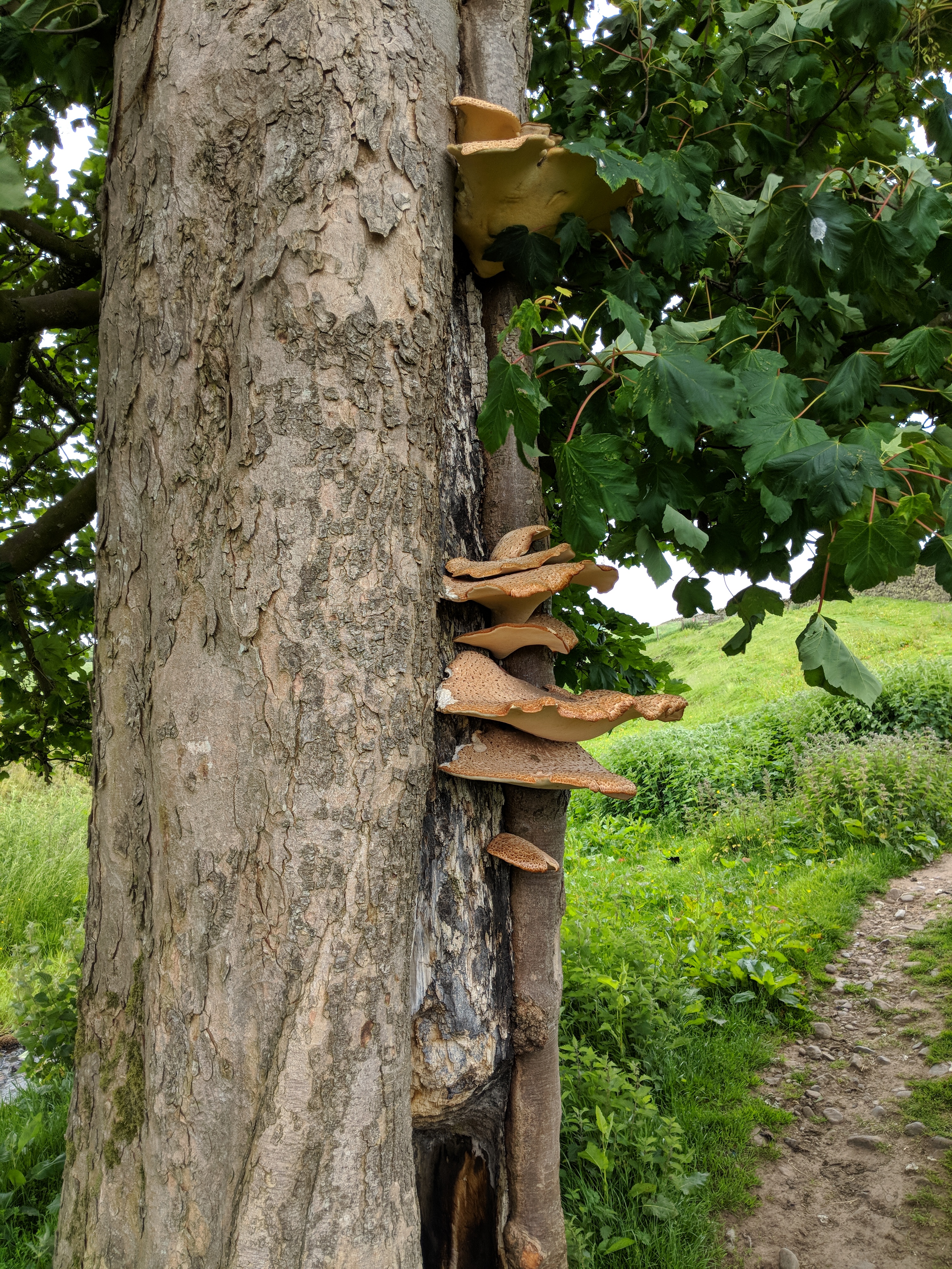
The first highlight of the day was a very impressive bracket fungus colony on a tree just outside Gilsland.
Bracket fungus
On to Thirlwall Castle, a decaying 15th century keep that helped to discourage the Border Reivers – and, of course, consumed the stone from a mile or two of Hadrian’s Wall.
Thirlwall Castle
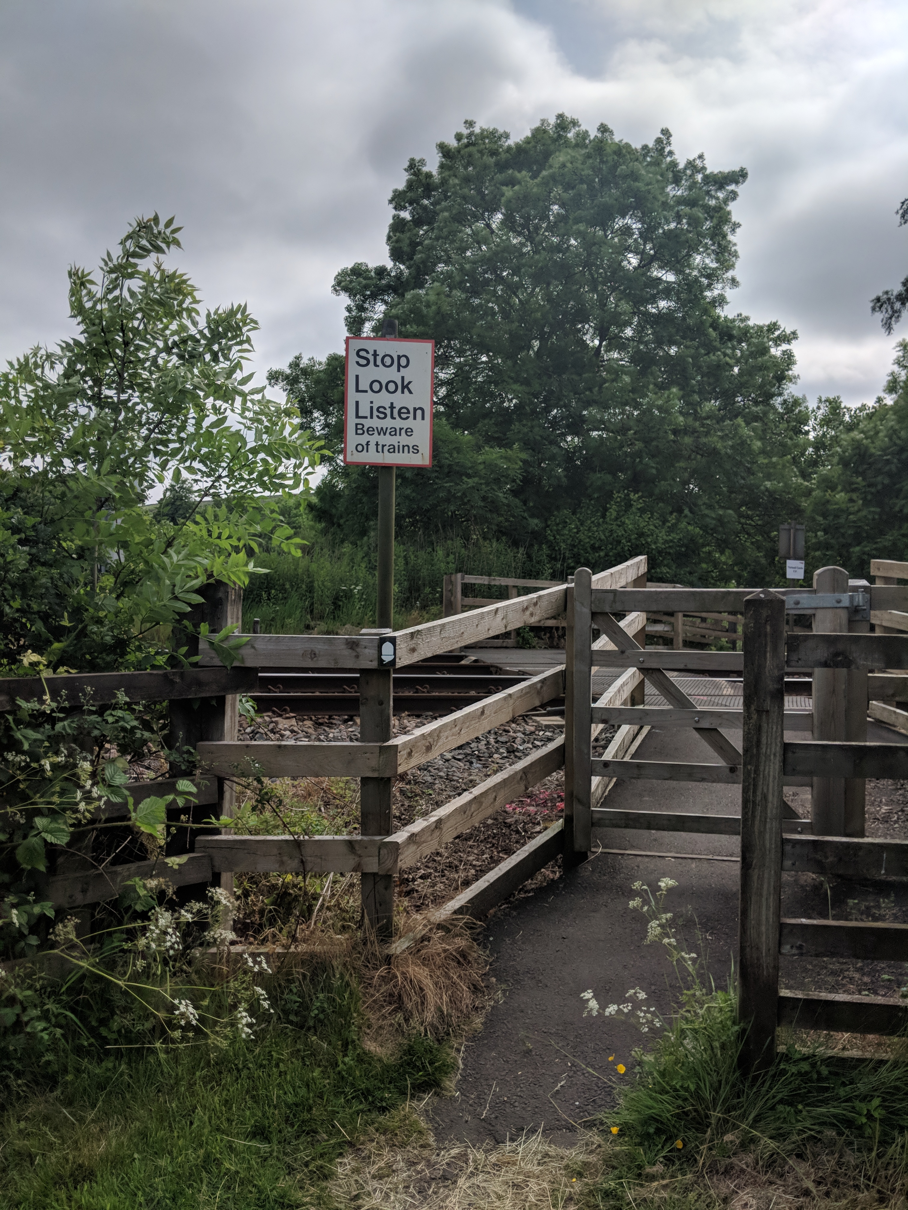
Just before the castle the path makes a completely unprotected crossing of the Newcastle to Carlisle railway – a hazard that the legionaries presumably didn’t need to worry about.
Not very Roman
There were also some fine views of the overall shape of the Wall earthworks, which are surprisingly extensive on the southern (Roman) side of the Wall line.
Vallum
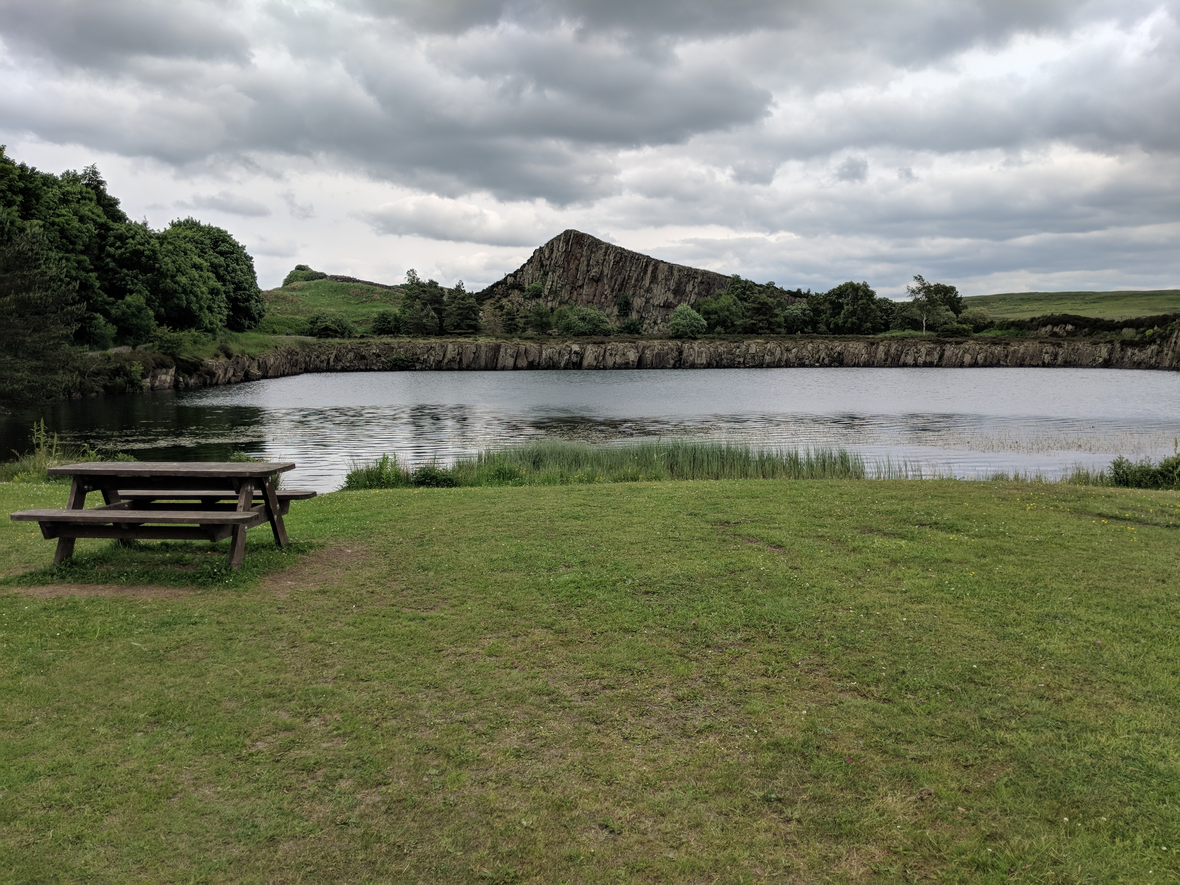
I popped into the Roman Army Museum at Walltown, but they wouldn’t sell me a coffee unless I paid up for a 3D immersive video experience. Since I was busy with an immersive experience of my own, I continued coffee-less, marvelling in passing at Walltown Crags quarry which, right up to the 1940s, brutally and unforgivably chomped its way through both crag and archaeology to mine the hard gritty dolerite for roadstone. This wasn’t the first time on the walk I’d seen the famous Whin Sill, but from this point all the way to Housesteads it’s the magnificent dominant feature of the landscape. It’s hardly surprising Hadrian’s engineers chose its crest to carry the Wall, as the north-facing cliff must have saved them no end of ditch-digging.
Walltown Crags old quarry
Ancient eroded escarpments come at a price for walkers, though. The Wall and path go through a seemingly endless series of fierce little switchbacks, gaining a couple of hundred feet in height over as many yards, only to lose that height again a few paces further on. To avoid erosion the path now has steps on most of these “nicks”, but they still cost plenty of puff in the way mountaineering author W.A.Poucher so memorably described as “collar work”. Numerous photos were taken, making a fine excuse for equally numerous short breaks – I averaged only about 1.6mph today.
Not level
My combination of slowness, sore feet and poor aerobic fitness led me to abandon plans for a side trip to Vindolanda museum. It’ll just have to wait for another visit. Similarly, I was debating whether to divert half a mile to the new visitor centre “The Sill” at Once Brewed, when a friendly couple told me that I could instead get my much-desired cuppa from a food van parked in a viewpoint car park right beside the trail. By the time I arrived the promised mobile tea shop had packed up and gone home, and I was so despondent I just carried on.
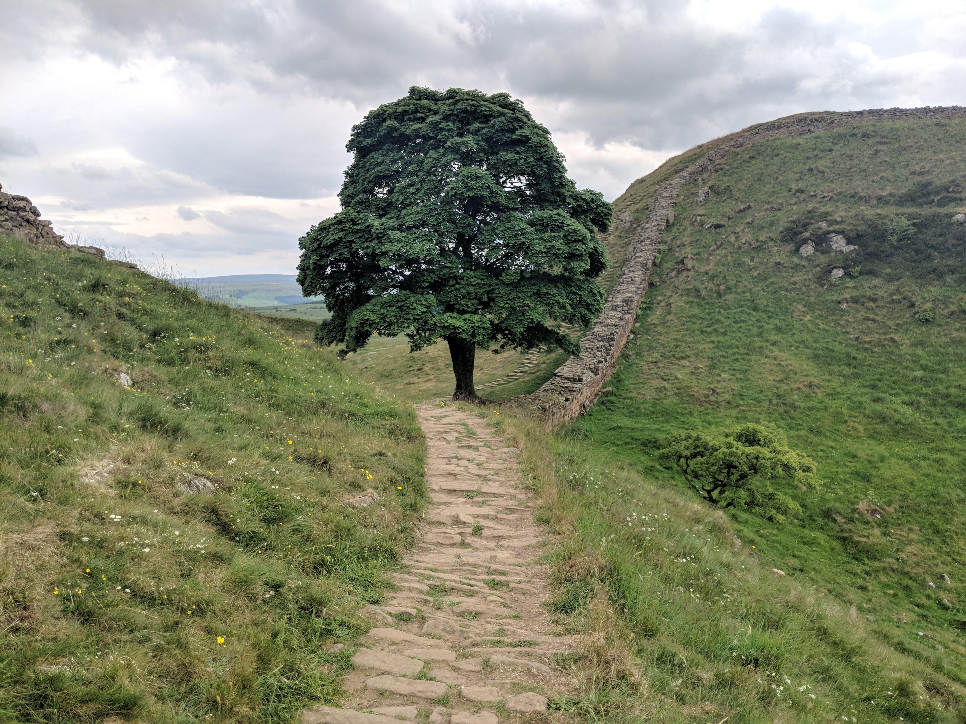
By now I was very close to the famously photogenic Sycamore Gap. On the way up one of the nicks just before it… my phone crashed. I have no idea why. Perhaps it just knew its services were about to be in demand. Anyway, that made me realize how much I’d come to depend on it: clock, camera, location reporting device, speedometer, compass, OS map display (I’ll have more to say about the OS map app in another post). I have the SLR camera with me too, and it takes better photos, but I have no way to copy them into the blog. Anyway, out came the SLR from my pack. At last, though, just at the top of the steps down to Sycamore Gap, I figured out how to restart the phone by doing a wardance on its volume and on-off buttons. Normally of course I’d just ask Google how to do it, but… you get the idea.
Sycamore Gap
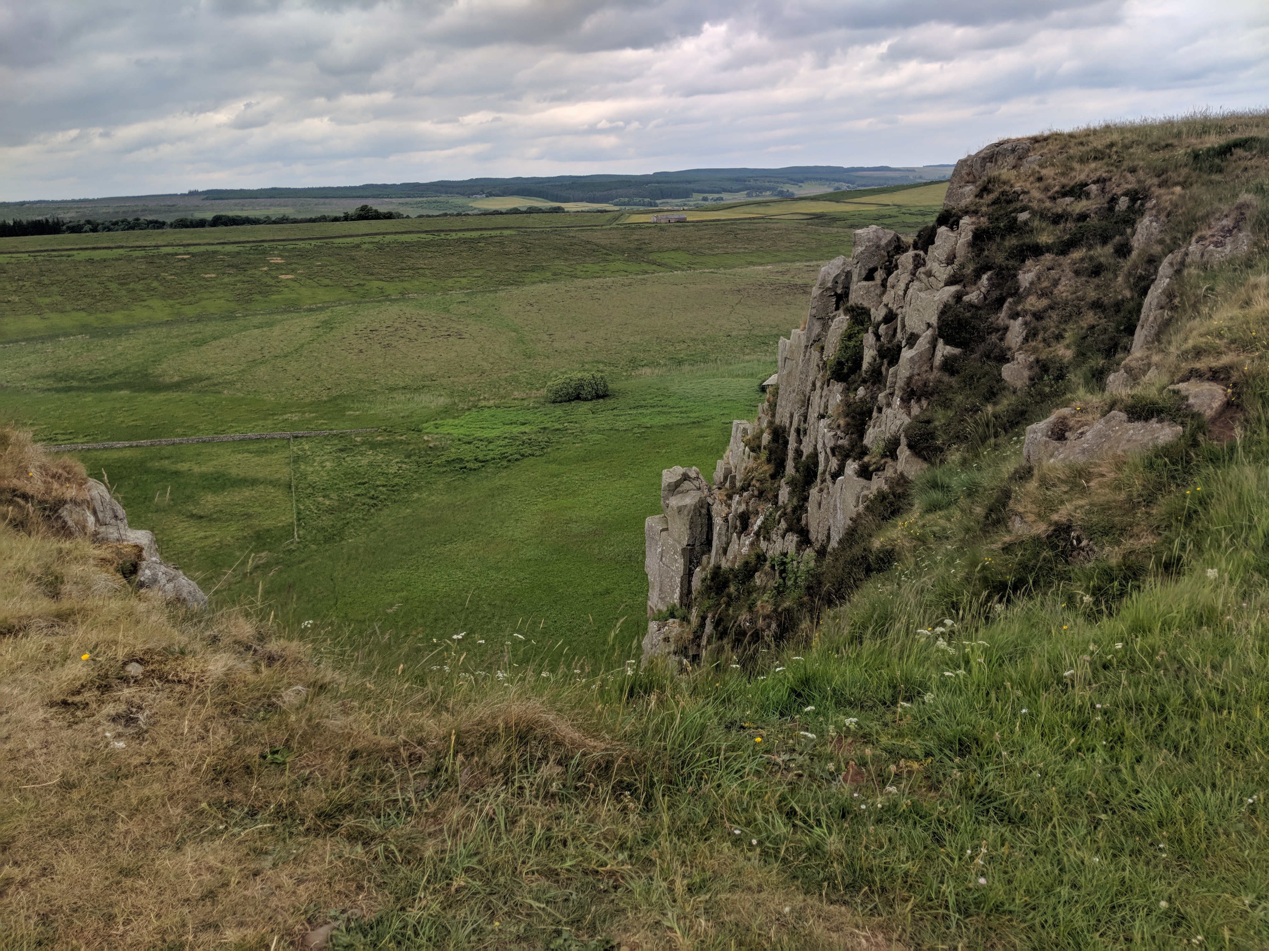
The stretch from Sycamore Gap to Housesteads is just a delight. Up-and-down a-plenty, including some sneaky little unexpected ones that aren’t too obvious from the contour map, but wonderfully varied views including the dramatic rock formations above Crag Lough.
Above Crag Lough
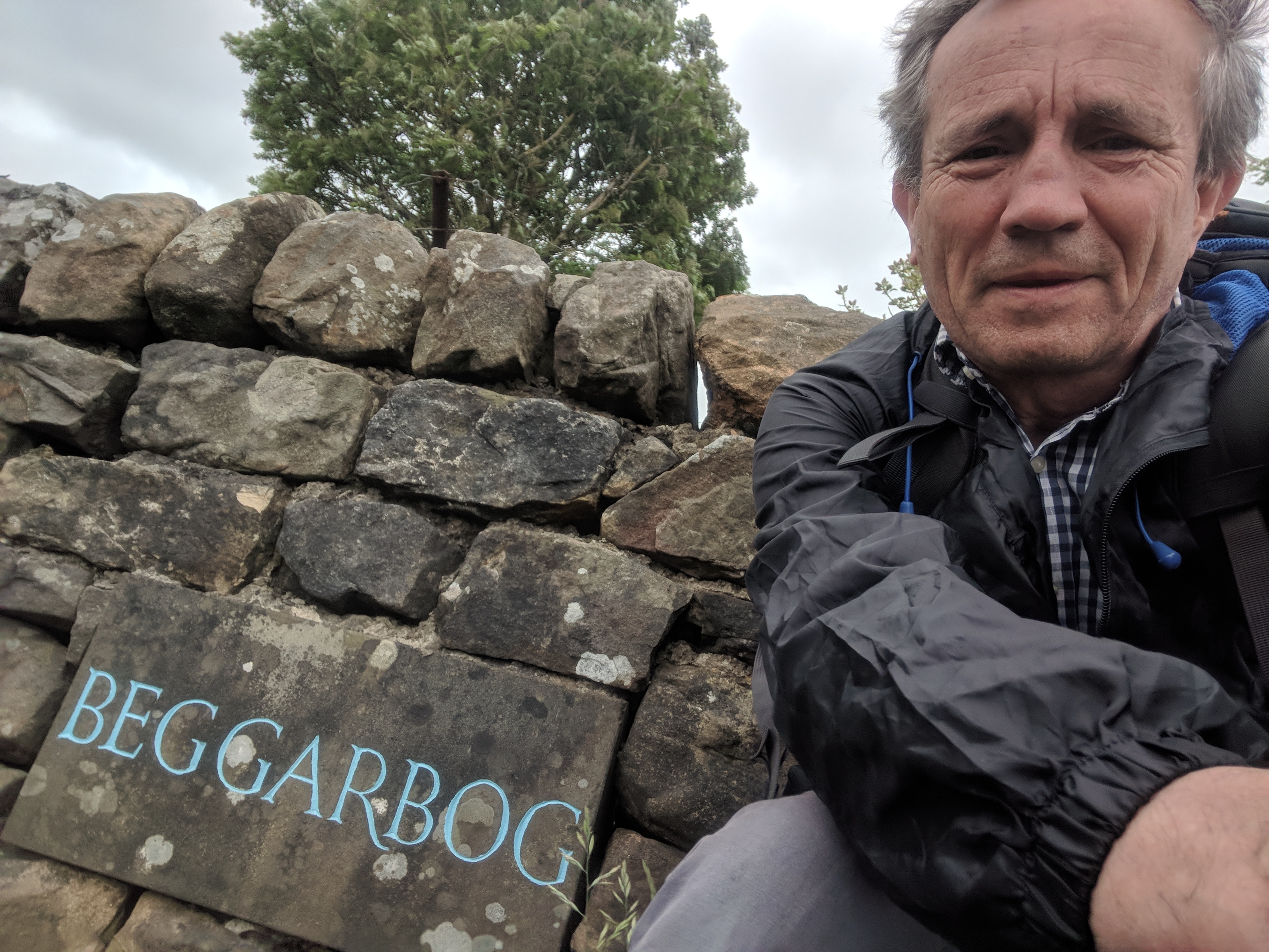
And so down to the sprawling Roman remains of Housesteads, and a very short road walk to my fine B&B at Beggarbog. It’s just a pity the WiFi isn’t a bit better so I could upload pictures.
Now for some scheming of tomorrow’s epic 21-mile slog to Stamfordham. It looks like I didn’t quite plan that one correctly. Most of it is fairly flat, but not all; and the weather promises to be interesting.
I had chosen this remote B&B because its location fitted my plans well, giving me a fairly short journey on the day I was passing the craggiest and most scenic parts of the trail. I don’t regret the choice at all, but the visit wasn’t all plain sailing. First, the proprietor Tris was very slow in responding to my request for confirmation of the booking – in the end he phoned me only 36 hours before I was due to arrive. Of course he was expecting me, no problem at all. As with everywhere I’ve stayed, he was genial and welcoming, and did everything he could to help. He couldn’t, though, do anything about the power failure at 7am on Thursday morning (probably thanks to the very strong winds). And because his place gets its water pumped up from a spring, no power means no water. Tris was very resourceful – he gave us big bottles of supermarket water for minimal ablutions, and somehow rustled up a very serviceable breakfast on a single camping stove.
To round off my ill-fated stay at Beggarbog, I then realized that I’d forgotten to get my trail passport stamped at Housesteads half a mile back. Unwilling to add another mile to Thursday’s 21-mile odyssey, I just skipped it and took a selfie at Beggarbog instead.